Land For Sale £270,000
An attractive parcel of land on the Leader Water
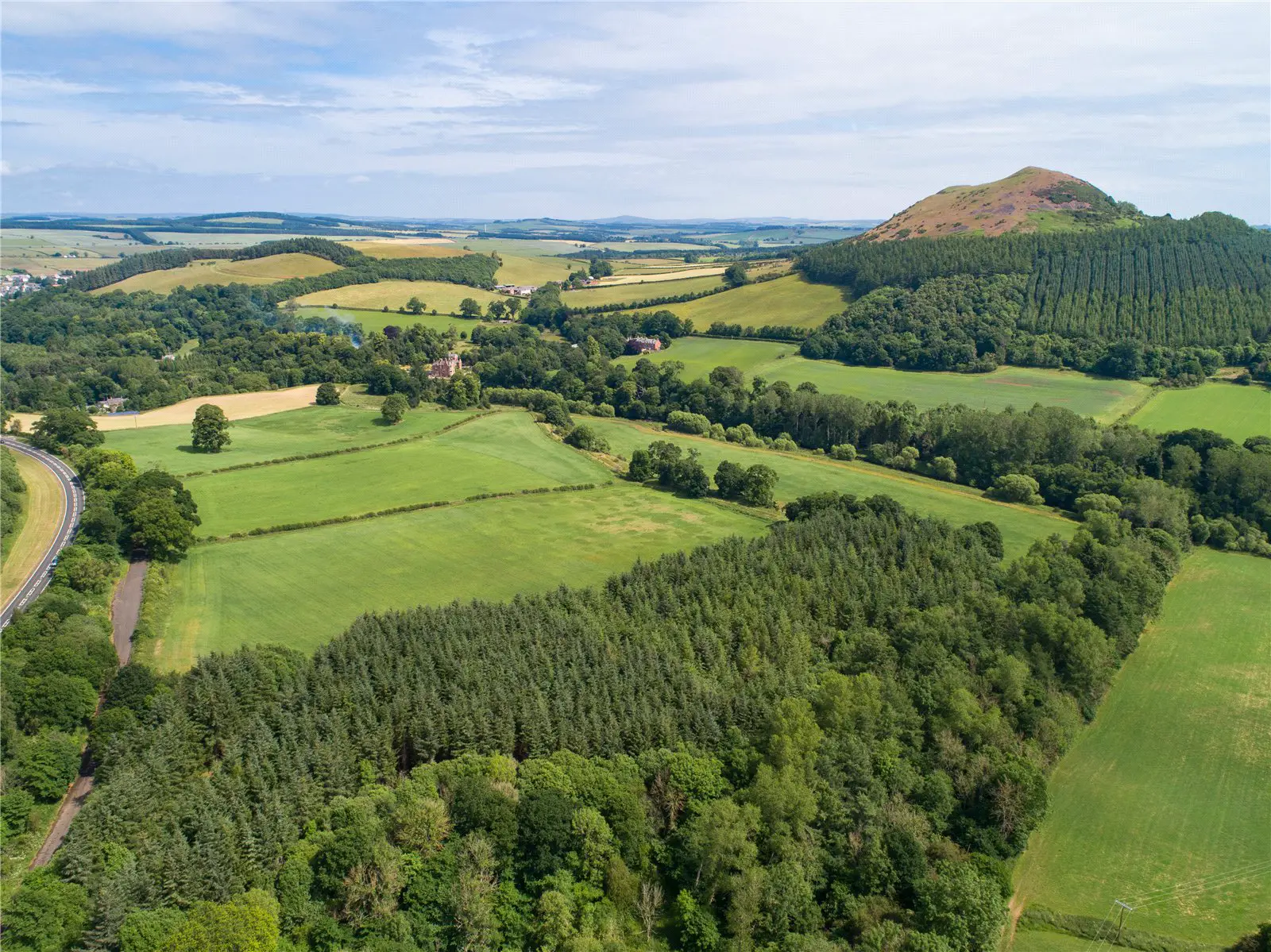
Location
The land at Sorrowlessfield possesses a most attractive position on the banks of the Leader Water in the Scottish Borders. The river flows southwards before joining the River Tweed just one mile downstream from the property. This picturesque landscape is defined by rolling farmland and beautiful copses and established woodland. The village of Earlston lies one mile to the north and the land sits to the east of the A68 public road. The area is served by an active machinery ring and a livestock market at Newton St Boswells (3.5 miles).
Description
Sorrowlessfield extends to about 65 acres in total and is contained within a single parcel with the Leader Water flowing along the eastern boundary. The land rises from 90m to 130m above sea level and has a southeasterly aspect. It is mainly classified by the James Hutton Institute for Soil Research as class 3(2) with an area of class 4(1) running down the eastern side. The fields and woodland are accessed off the former A68 road which is no longer a public road but provides good access for farm machinery. The land forms part of a larger farm and is currently managed under the terms of an Agri-Environmental Climate Scheme (aecs) which ends in March 2022. It is offered for sale as a whole or in two lots as follows:
Lot 1 comprises four arable fields extending to about 37.6 acres in total and about 7.3 acres of open woodland and pasture. Prior to entering into the aecs the arable land was primarily cropped with winter barley. The pasture is not grazed at present but an area towards the northern end could be fenced and would provide sheltered grazing for stock or horses as could the arable fields. The gently flowing Leader Water could offer the keen fisherman the opportunity to catch the occasional trout.
Lot 2 comprises a small woodland extending to about 16.2 acres known as Packman's Wood. It runs from the banks of the river westwards to the old A68 and is intersected by the Packman's Burn which flows through a steep sided dean before entering the Leader Water. Lot 2 can be broadly split between 6 acres of commercial conifers with the remainder being primarily mixed broadleaves.
Acreage: 65 Acres
Directions
From the north, take the A68 south to Earlston. Pass through Earlston and continue for about 1 mile. The access point to the land lies along this road on the left.
From the south, take the A68 north towards St Boswells. Continue through St Boswells for about 4.5 miles. The access point to the land lies along this road on the right. The nearest postcode is TD6 6AQ.