Land For Sale £75,000
The Land
There are a handful of 1.2 acre parcels with full access prime for re-development. The land is currently registered as a small holding.
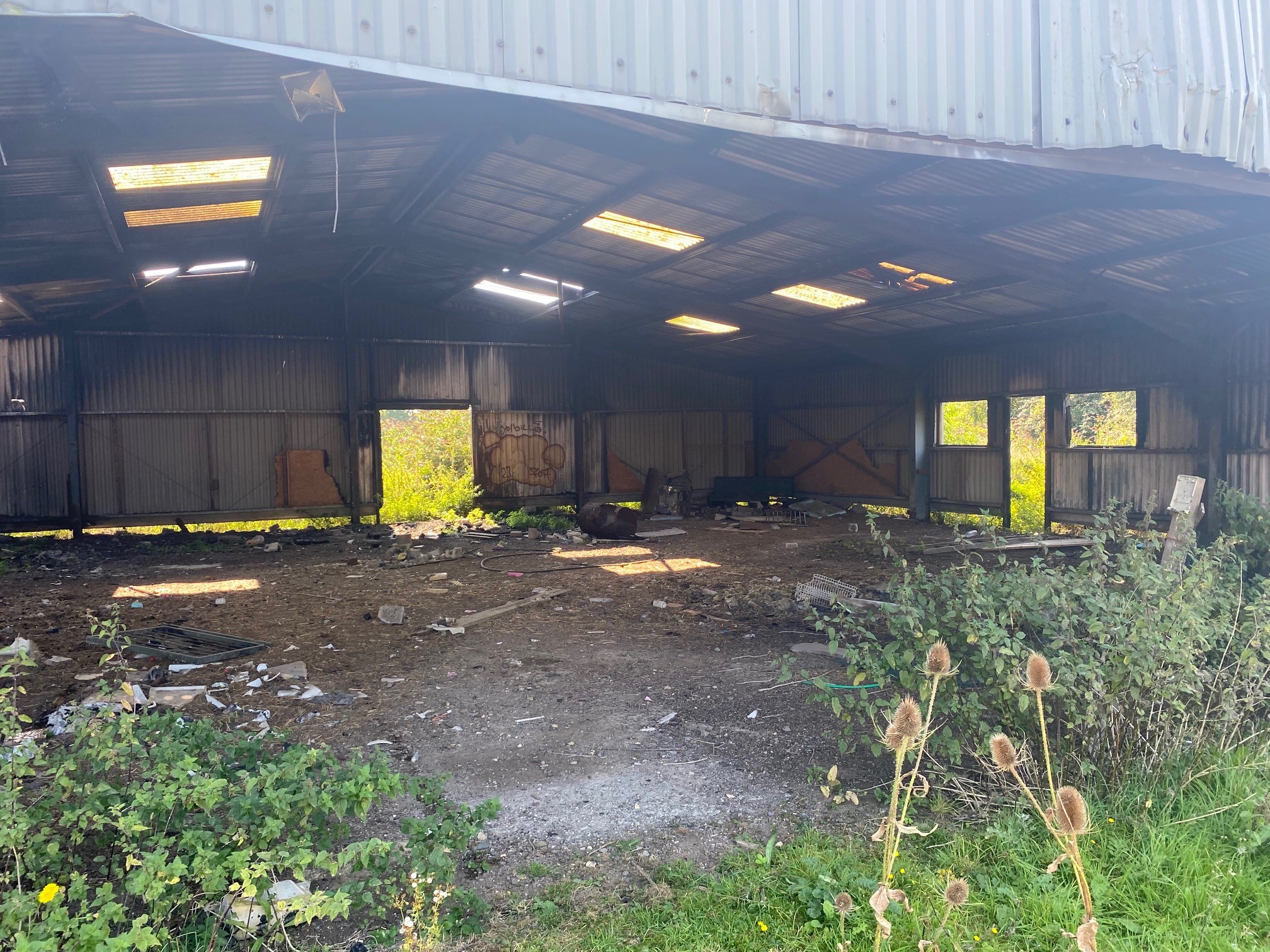
There is also a derelict mobile home on site with hard standing and water already connected.
Planning History
ref: Utt/1756/88
A new vehicular access was approved back in 1988.
Ref: Utt/0957/90
A planning application for a two storey single dwelling was approved back in 1991 but lapsed.
Ref: Utt/15/2045/ful
Planning approved for Equine stable block In 2015
Site Location
The site is located between Stansted Mountfitchet and Elsenham. The land adjoins the B1051 and borders the M11. The land benefits from a prominent position along the B1051 with secure gated access abutting the road.
The site is situated within the local authority area of Uttlesford District council.
The land is positioned around 350 feet from Elsenham village which is situated approximately 3.7 miles north of Stansted Airport and 1.47 Miles East of Stanstead and Mountfitchet.
Land Designation/Restrictions
We understand the land is currently located outside the greenbelt. There are no restrictions registered on title that prohibit any form of use or development.
Public Rights of Way and Access
The land has no public rights of access via the B1051. The land is secured via a shared gated access point. The land also benefits from access to the North of the land which leads onto a private land adjoining Alsa wood.
Please call the auctioneer for full details
There are a handful of 1.2 acre parcels with full access prime for re-development. The land is currently registered as a small holding.
There is also a derelict mobile home on site with hard standing and water already connected.
Planning History
ref: Utt/1756/88
A new vehicular access was approved back in 1988.
Ref: Utt/0957/90
A planning application for a two storey single dwelling was approved back in 1991 but lapsed.
Ref: Utt/15/2045/ful
Planning approved for Equine stable block In 2015
Site Location
The site is located between Stansted Mountfitchet and Elsenham. The land adjoins the B1051 and borders the M11. The land benefits from a prominent position along the B1051 with secure gated access abutting the road.
The site is situated within the local authority area of Uttlesford District council.
The land is positioned around 350 feet from Elsenham village which is situated approximately 3.7 miles north of Stansted Airport and 1.47 Miles East of Stanstead and Mountfitchet.
Land Designation/Restrictions
We understand the land is currently located outside the greenbelt. There are no restrictions registered on title that prohibit any form of use or development.
Public Rights of Way and Access
The land has no public rights of access via the B1051. The land is secured via a shared gated access point. The land also benefits from access to the North of the land which leads onto a private land adjoining Alsa wood.
Please call the auctioneer for full details