Land For Sale £500,000
This site is a rare development opportunity in such a fantastic location just a short stroll into the centre of the Market Town of Garstang. The plot has excellent accessibility onto Castle Lane, in a quiet but sought after location, giving easy access to the extensive array of footpaths around the area and in close proximity to the Lancaster canal and the River Wyre and just down the lane from the well known Greenhalgh Castle, therefore it will be highly sought after residential location popular with potential home owners.
Garstang benefits from a number of well attended primary schools, including St Mary’s and Michael Catholic Primary School which its playing fields immediately adjoin the property to the west. A thriving Garstang Community Academy secondary school and within travel catchments for various other independent schools. Various well run sports clubs and lovely market town with many independent shops making it an ideal and sought after development site.
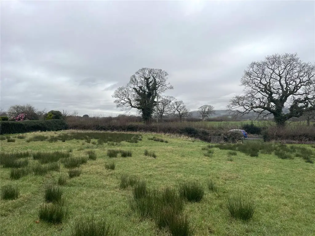
The land in total extends to 1.66 acres (0.67 hectares) with gated access off Castle Lane, The site is part of a wider plot of land which was contained in the original planning approval, Reference 22/00669/OUT which related to “an outline application for the erection of up to 9 dwellings with access off Castle Lane (all other matters reserved)”.
Outline planning consent for the overall site was granted dated 5th April 2023. Therefore, the land has the benefit of residential approval by virtue of a valid outline application. (The land to the north west of the site adjacent to Kirkfield is retained by 3rd party owners and excluded from this sale).
The approved schematic drawing illustrated how the site could to be developed with 9 houses accommodating various constraints however interested parties would need to submit their own planning applications to develop the land in accordance with their own design and specifications with access onto Castle Lane having regard to the reduced area and the constraints of the site, of which includes partially within Flood Zone 2.
All the planning documentation is located on Wyre Borough Council’s planning portal. Details of the land are identified in the original planning application reference 22/00669/OUT. The planning documentation also included a full Flood Risk Assessment and Drainage Strategy.
Garstang benefits from a number of well attended primary schools, including St Mary’s and Michael Catholic Primary School which its playing fields immediately adjoin the property to the west. A thriving Garstang Community Academy secondary school and within travel catchments for various other independent schools. Various well run sports clubs and lovely market town with many independent shops making it an ideal and sought after development site.
The land in total extends to 1.66 acres (0.67 hectares) with gated access off Castle Lane, The site is part of a wider plot of land which was contained in the original planning approval, Reference 22/00669/OUT which related to “an outline application for the erection of up to 9 dwellings with access off Castle Lane (all other matters reserved)”.
Outline planning consent for the overall site was granted dated 5th April 2023. Therefore, the land has the benefit of residential approval by virtue of a valid outline application. (The land to the north west of the site adjacent to Kirkfield is retained by 3rd party owners and excluded from this sale).
The approved schematic drawing illustrated how the site could to be developed with 9 houses accommodating various constraints however interested parties would need to submit their own planning applications to develop the land in accordance with their own design and specifications with access onto Castle Lane having regard to the reduced area and the constraints of the site, of which includes partially within Flood Zone 2.
All the planning documentation is located on Wyre Borough Council’s planning portal. Details of the land are identified in the original planning application reference 22/00669/OUT. The planning documentation also included a full Flood Risk Assessment and Drainage Strategy.